Gain insight into the 2026 Atlantic hurricane season as forecasters analyze the growing influence of El Niño, warming ocean temperatures, and evolving patterns on the upcoming storm season.
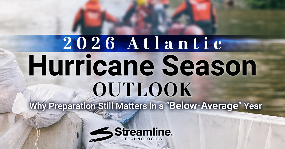
As the 2026 Atlantic hurricane season officially begins on June 1st, forecasters across the meteorological community are closely monitoring a complex mix of atmospheric and oceanic conditions that could shape tropical development over the next six months. While early projections suggest a somewhat below-average season compared to historic norms, experts continue to emphasize one critical message: it only takes one storm to make a devastating impact.
For coastal communities, emergency managers, infrastructure operators, and flood response teams, hurricane preparedness remains as important as ever.
According to the initial seasonal forecast released by Colorado State University (CSU) on April 9th, the Atlantic basin is expected to experience slightly reduced tropical activity this year, largely due to the anticipated development of El Niño conditions in the Pacific Ocean.
Understanding the 2026 Hurricane Season Forecast
Colorado State University (CSU):
- 13 Named Storms
- 6 Hurricanes
- 2 Major Hurricanes (Category 3 or Higher)
- An Accumulated Cyclone Energy (ACE) Index of 90
By comparison, the long-term average from 1991 to 2020 includes approximately 14.4 named storms, 7.2 hurricanes, and 3.2 major hurricanes annually.
While these numbers indicate a quieter-than-normal season overall, they do not eliminate the threat of impactful storms making landfall across the United States, Caribbean, or Gulf Coast.
In fact, forecasters repeatedly stress that seasonal activity totals do not determine whether a region will experience disaster. A single hurricane tracking in a densely populated or flood-prone area can still produce catastrophic consequences regardless of overall basin activity.
The 2025 season served as another reminder of that reality. Despite producing 13 named storms and 5 hurricanes, three storms, Erin, Humberto, and Melissa, intensified into Category 5 hurricanes, demonstrating how rapidly tropical systems can strengthen under favorable conditions.
National Oceanic and Atmospheric Administration (NOAA):
- 8 - 14 Named Storms
- 3 - 6 Hurricanes
- 1 - 3 Major Hurricanes (Category 3 or Higher)
- A 55% Chance of a Below-Normal Season
The National Oceanic and Atmospheric Administration's (NOAA) official outlook for the 2026 Atlantic hurricane season points to reduced tropical activity compared to historical averages, with forecasters citing the anticipated development of El Niño as one of the primary suppressing factors. The agency’s forecast includes a 35% chance of a near-normal season and only a 10% chance of an above-normal season.
While NOAA’s projected ranges are slightly broader than CSU’s forecast, both organizations highlight similar atmospheric patterns that could limit storm formation across the Atlantic basin during the peak months of hurricane season.
However, NOAA continues to strongly emphasize that below-normal seasonal activity does not equate to lower risk for coastal communities. Forecasters repeatedly stress that even a quieter season can still produce intense and dangerous hurricanes capable of catastrophic flooding, storm surge, and wind damage.
NOAA officials also noted that unusually warm Atlantic sea surface temperatures and weaker trade winds could partially offset El Niño’s suppressive influence, allowing storms that do develop to intensify rapidly under favorable conditions. Because of this uncertainty, emergency preparedness officials continue to encourage residents, municipalities, and infrastructure operators to finalize hurricane response plans well before peak season arrives.
El Niño Could Be the Defining Factor in 2026
One of the primary drivers behind the 2026 outlook is the expected transition from weaker La Niña conditions into a potentially moderate or even strong El Niño by the peak of hurricane season.
El Niño refers to unusually warm sea surface temperatures across the equatorial Pacific Ocean. While this phenomenon occurs thousands of miles away from the Atlantic basin, it can significantly influence hurricane development through changes in atmospheric circulation and wind patterns.
According to NOAA, El Niño typically increases upper-level wind shear across the tropical Atlantic and Caribbean Sea. Stronger wind shear disrupts developing tropical systems by tilting storms and weakening their internal circulation before they can fully organize.
Forecast models suggest the developing El Niño could become one of the strongest observed in decades, with some researchers comparing the current setup to the powerful 2015-2016 El Niño event.
That similarity has caught the attention of forecasters because the 2015 Atlantic hurricane season produced relatively modest storm totals, including 11 named storms, 4 hurricanes, and 2 major hurricanes.
Warm Ocean Waters Continue to Raise Concern
Even as El Niño may suppress some tropical activity, unusually warm ocean temperatures remain a major concern entering the 2026 Atlantic Hurricane Season.
Sea surface temperatures across portions of the Atlantic basin, Caribbean, and Gulf remain above average. Warm water acts as fuel for tropical systems, supporting storm organization and intensification once atmospheric conditions become favorable.
Forecasters are particularly monitoring the Gulf early in the season, where water temperatures are already warm enough to support tropical development.
Research has increasingly shown that exceptionally warm ocean temperatures can counteract portions of El Niño’s suppressive influence. This means storms that form may still have the potential to intensify rapidly under the right conditions.
Additionally, steering patterns during El Niño years can occasionally favor storms developing outside of the traditional Main Development Region, potentially increasing risks for portions of the Gulf Coast, Southeast, and even the northeastern United States later in the season.
Preparation Remains the Most Important Forecast
Seasonal hurricane outlooks provide valuable insight into broad atmospheric trends, but they cannot predict where storms will form or where they may eventually make landfall. That uncertainty reinforces the importance of preparation long before a storm appears on the radar.
Communities today face growing challenges from hurricanes and tropical flooding, including aging infrastructure, rapid urban development, rising sea levels, and increasingly intense rainfall events. Lower-activity seasons can still produce high-impact flooding disasters capable of overwhelming emergency response systems and damaging critical infrastructure.
At Streamline Technologies, preparation and resilience remain central to helping communities better anticipate and respond to extreme weather events.
Our innovative flood forecasting system (FloodWiseTM) and advanced hydrologic and hydraulic modeling solutions (StormWiseTM) provide decision-makers with actionable intelligence before, during, and after major storm events.
Looking Ahead to the 2026 Season
Whether the 2026 Atlantic hurricane season ultimately finishes below average or surprises forecasters with unexpected activity, one reality remains unchanged: preparedness saves lives.
Forecasts may help guide expectations, but they cannot eliminate risk. Coastal residents, municipalities, infrastructure operators, and emergency management agencies should use the days ahead to review emergency plans, strengthen communication strategies, evaluate flood vulnerabilities, and ensure critical systems are ready for whatever the season brings.
Because when it comes to hurricanes, it only takes one storm to define a season.
As communities prepare for the 2026 Atlantic Hurricane Season, Streamline Technologies is helping organizations stay ahead of the storm with advanced flood modeling, real-time forecasting, and data-driven decision support tools.
Contact our team today to learn more!
TAGS
Blogs