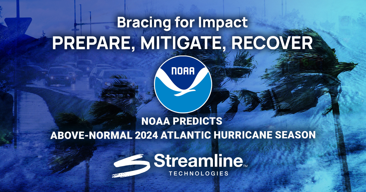
NOAA Predicts Above-Normal 2024 Atlantic Hurricane Season
The 2024 Atlantic Hurricane Season is upon us and threatens to be one of the most catastrophic on record.
Forecasters at the National Oceanic and Atmospheric Administration (NOAA) are predicting an 85% chance of an above-normal hurricane season, accompanied by a 10% chance of a near-normal season and a mere 5% chance of a below-normal season.
Key Predictions and Factors
Spanning from June 1st to November 30th, the Atlantic hurricane season is expected to see 17 to 25 named storms (with winds of 39 mph or higher).
Of these, 8 to 13 have the potential to become hurricanes (with winds of 74 mph or higher), including 4 to 7 major hurricanes (category 3, 4, or 5, with winds of 111 mph or higher) with several factors contributing to the anticipated surge in hurricane activity:
-
Near-record Warm Ocean Temperatures: Warm ocean water fuels hurricane formation and intensification.
-
Development of La Niña Conditions: La Niña in the Pacific reduces wind shear in the Atlantic, which helps storms develop.
-
Reduced Atlantic Trade Winds: Less wind shear and more conducive conditions for storm development.
-
Abundant Oceanic Heat Content: The tropical Atlantic and Caribbean Sea are particularly warm, providing energy for storms.
-
Potential Above-normal West African Monsoon: This can produce African easterly waves, which seed some of the strongest Atlantic storms.

Given these factors and a projected historic storm season, Erik A. Hooks, FEMA’s Deputy Administrator, has emphasized the urgency for preparedness in stating:
“Severe weather and emergencies can happen at any moment, which is why individuals and communities need to be prepared today. Already, we are seeing storms move across the country that can bring additional hazards like tornadoes, flooding, and hail. Taking a proactive approach to our increasingly challenging climate landscape today can make a difference in how people can recover tomorrow."
NOAA Takes Action
Underscoring the importance of staying informed, staying prepared, and staying safe, NOAA has taken proactive measures to enhance communications, improve hurricane forecasting and analysis, and upgrade observational systems.
Enhanced Communications:
To better inform and protect the coastal communities, NOAA is rolling out several new tools and upgrades this season:
-
Expanded Spanish Language Products: The National Hurricane Center (NHC) will now offer all Public Advisories, Tropical Cyclone Discussions, Tropical Cyclone Updates, and Key Messages in Spanish.
-
New Forecast Cone Graphic: Starting around August 15, an experimental forecast cone graphic will include inland tropical storm and hurricane watches and warnings for the U.S.
-
More Frequent Advisories: NHC will issue intermediate advisories for timely updates on tropical cyclone watches and warnings.
Advanced Forecasting:
NOAA researchers have developed new tools for improved hurricane analysis and forecasting:
-
Modular Ocean Model (MOM6): This model improves the representation of ocean dynamics in the Hurricane Analysis and Forecast System.
-
SDCON Model: Predicts the probability of rapid cyclone intensification.
-
Flood Inundation Mapping: Provides detailed flood predictions to help emergency and water managers prepare and respond effectively.
Upgraded Observation:
NOAA has also upgraded its observing systems to ensure more accurate and timely data:
-
Enhanced Coastal Weather Buoys: These buoys now provide more detailed measurements.
-
Directional Wave Spectra Drifters (DWSDs) and Saildrones: These advanced tools gather real-time data on oceanic and atmospheric conditions.
-
Observational Underwater Gliders: Deployed extensively for better monitoring of the ocean’s dynamics.
-
Streamsonde: A new lightweight dropsonde for real-time wind data collection.
-
CHAOS Research Experiment: Facilitates sustained monitoring of critical ocean features.
Change Outcomes and Save Lives with Streamline Technologies
In the face of daunting circumstances, as experienced through hurricanes and extreme storm events, proactive preparation and advanced warning systems are vital to protect your community. But don’t worry, Streamline Technologies is here to help by offering state-of-the-art solutions for flood forecasting and early warning:
-
StormWise™: A cutting-edge hydrologic and hydraulic modeling engine that identifies flood risks, models flood scenarios and ensures compliant stormwater management.
-
FloodWise™: Operating in real-time, this tool forecasts flooding at the street, house, and infrastructure levels several days in advance, enabling emergency response teams to allocate resources effectively and mitigate impacts.

FloodWise™ and StormWise™ empower flood managers and emergency response teams with the tools needed for informed decision-making, significantly reducing the impact of catastrophic flood events.
Prepare, Mitigate, Recover
With the looming threat of a record-breaking hurricane season, the time for action is now.
NOAA’s advanced measures and Streamline Technologies’ innovative solutions are essential in enhancing public safety and preparedness. By leveraging these advanced tools, communities can better anticipate, prepare for, and mitigate the impacts of hurricanes and flooding.
Download our whitepaper, "Flood Forecasting and Early Warning System," and contact our team today to discover how Streamline Technologies’ cutting-edge technologies can change outcomes and save lives.
TAGS
Blogs