Geographic Information System (GIS)
What is GIS? GIS is a computer-based system designed to capture, store, manage, analyze, and visualize various types of geographic and spatial data. By using location as a means of linking various data types, GIS allows for the integration of diverse data sets based on their geographic associations.
In addition, GIS technology has become increasingly significant in our daily lives, powering many commonly used location-based services and applications (apps), such as navigation apps and weather forecasts. It also serves as a powerful tool for understanding and analyzing the complex relationships between various geographic phenomena and human activities.
The Role of GIS in Hydrologic and Hydraulic (H&H) Model Development
H&H models typically require geospatial data such as terrains, soils, and land cover. These data types are typically represented by differing GIS data file types including digital elevation models (DEMs), shapefiles, and feature classes. Utilizing GIS to process these datasets greatly streamlines the H&H model development process.
In addition, GIS provides a platform to visualize and analyze the spatial variability in the H&H results for the geospatially referenced model domain. This can help to illustrate the spatial distributions and patterns during storm events. For example, displaying the peak flood depths for a discrete storm event based on the StormWise™ model results. Consequently, GIS is a crucial technology in modern H&H model development as it integrates various geospatial data types and serves as an extension of StormWise™.
StormWise™, Streamline Technologies’ flagship product, and widely used hydrodynamic model, can handle spatially explicit GIS datasets as it leverages raster and vector datasets for data take-off, mapping, and visualization.

Preprocessing H&H Model Base Data with GIS:
GIS software is crucial for preprocessing base data required for H&H models. For example, GIS is often utilized to develop DEMs for 1D node and link storage and for 2D overland flow models to define the surface flow and storage. StormWise™ can also leverage various geospatial datasets, such as land cover and DEMs, to parameterize the computational network. In addition, StormWise™ utilizes geographically indexed and projected rainfall grids, such as Next-Generation Radar (NEXRAD), to spatially distribute historical rainfall over the model domain. This also includes gridded climate data to spatially vary reference evapotranspiration based on crop cover. Lastly, StormWise™ can import spatially projected aerial imagery, enhancing the model development process.
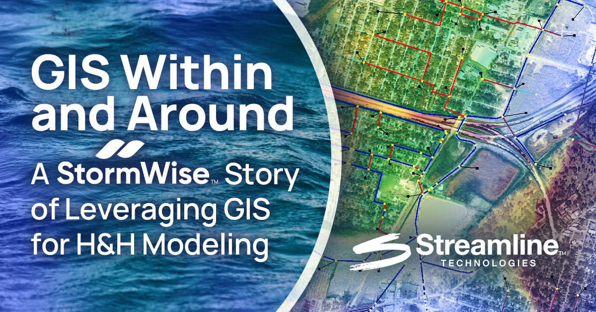
StormWise™ Computational Network:
StormWise™ can leverage geospatially placed model elements and data for the computational network. While it is optional for 1D StormWise™ models, tools such as the ESRI ArcHydro toolset can be utilized to delineate basin boundaries based on terrain data and stormwater infrastructure. The delineated basins can be used in StormWise™ to automate the basin input data. For 2D StormWise™ models, all model features must be placed geospatially which incorporates built-in GIS tools to generate an unstructured computational mesh to simulate the surface flow. Data exchange tools are also available to migrate data to/from the StormWise™ and an ESRI file geodatabase called Geographic Watershed Information System (GWIS).
Model Results Visualization using GIS:
The use of GIS in displaying StormWise™ results is among the most crucial applications. GIS principles, processes, and software are employed to depict flooding in both static maps and dynamic web applications:
Generating Floodplains:
One of the fundamental applications of GIS involves floodplain mapping. For example, maximum water elevations derived from H&H models can be used to create floodplains with GIS. GIS tools help delineate areas inundated during these flooding events based on the model network and surface data. These floodplains can be overlaid with other pertinent data such as critical infrastructure to identify flooding impacts. GIS provides essential tools for managing all input layers, processing these layers individually, performing spatial analysis between them, and offering a platform to prepare both static and dynamic representations of these floodplains.
Visualizing Flood Inundation:
StormWise™ models can be used to create flood animations that illustrate the temporal dynamics of flooding due to storm events. These animations can be superimposed on 2D or 3D GIS datasets including buildings, roads, bridges, and critical infrastructure to enhance the visual realism of the flooding.
Additionally, StormWise™ can generate water surface animations, which can be exported and manipulated in GIS. For example, the flood depth raster output from the StormWise™ 2D model can be exported to GIS to facilitate the creation of similar animations in GIS.

Spatially Explicit Flood Forecasts:
The spatial relationships driven by GIS between model outputs and areas where people live, work, and play are crucial for saving lives and protecting communities from economic losses.
GIS tools enable the spatial representation of model outputs and facilitate visualizing flooding impacts on communities, infrastructure, and other features of interest. At Streamline Technologies, we leverage these spatial relationships to identify forecasted flooding at the street and building level several days in advance within our FloodWise™ dashboard.

Closing Remarks
GIS utilizes location-based information to analyze complex interactions between various geographic phenomena, encompassing both human and natural activities. In H&H modeling, GIS is essential for processing input data such as elevation grids, land use, and rainfall, and for visualizing model outputs like flood inundation.
StormWise™ leverages GIS to manage spatial data, execute numerical calculations, and display results via maps and animations. Together, GIS tools and H&H modeling software such as StormWise™ enhance capabilities in flood forecasting, emergency response, and infrastructure planning by providing precise, location-specific insights.
Contact Our Team today to learn how Streamline Technologies is empowering communities with precise tools to forecast, prepare for, and mitigate stormwater and flooding impacts for improved resiliency and sustainability in the world around us!
TAGS
Blogs