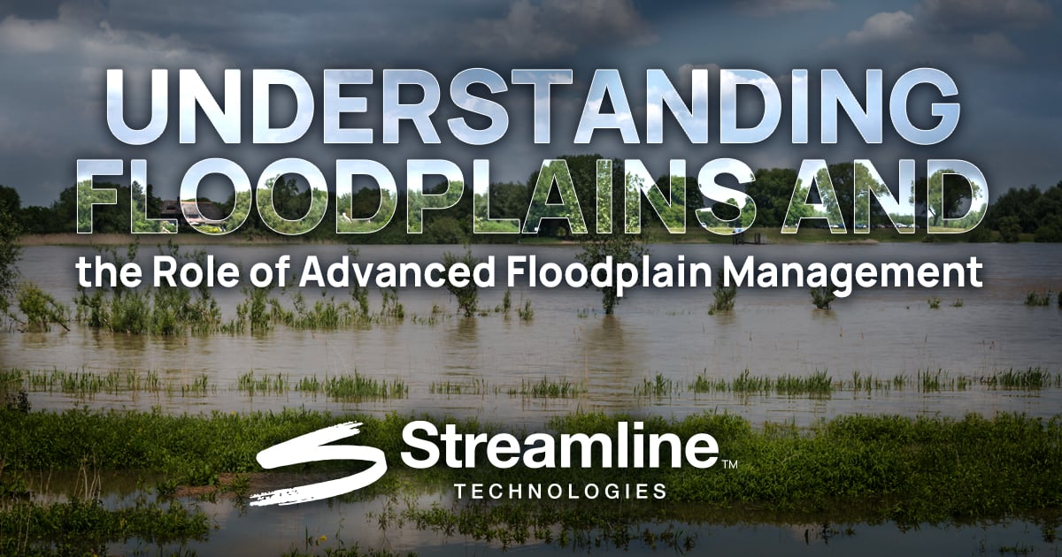
Discover the importance of floodplains, effective floodplain management, and how Streamline Technologies empowers engineers to assess flood risks, model scenarios, and build resilient communities.
Floodplains are among the most dynamic and essential landscapes in our natural and built environments as they protect communities, support thriving ecosystems, and reduce the devastating impacts of flooding. However, as shifting climate patterns amplify the frequency and severity of flooding events, the need to better understand, preserve, and manage floodplains has never been greater.
For over 40 years, Streamline Technologies has supported this mission through StormWise™, our industry-leading hydrologic and hydraulic (H&H) modeling software. By equipping engineers and planners with the tools to accurately assess flood risks, model complex flood scenarios, and make informed, cost-effective decisions, StormWise™ has become an indispensable part of modern floodplain management, creating safer infrastructure and supporting more sustainable and resilient communities.
What is a Floodplain
According to the Federal Emergency Management Agency (FEMA), a floodplain is any land area susceptible to being inundated by floodwaters. This includes coastal regions impacted by storm surges, low-lying areas prone to heavy rainfall, and land adjacent to rivers or streams that flood when these waterways rise beyond their banks.
Floodplains are nature’s spillover zones. While often appearing as ordinary patches of land during dry weather, these areas play a crucial role during heavy rainfall or storm events by slowing, temporarily storing, and dispersing floodwaters. Over time, erosion and sediment deposits shape these landscapes, making them fertile grounds for vegetation and wildlife.
Floodplains are also a regulatory construct – FEMA designates and maps floodplains across the United States, and these designations influence everything from flood insurance rates to building regulations. Mortgage lenders typically require flood insurance for properties located within a FEMA-mapped floodplain, while local governments often impose stricter building codes and zoning laws to mitigate flood risks in these areas.
The Importance of Floodplains
Floodplains are ecologically and hydrologically invaluable, performing vital functions that benefit both the environment and communities alike, such as:
- Flood Control: They absorb and slow floodwater, reducing downstream flood risks.
- Water Quality: Vegetation filters pollutants and improves water quality.
- Groundwater Recharge: Floodplains allow rain and floodwater to seep into aquifers.
- Ecosystem Support: Wetlands and backwaters within floodplains provide critical habitats for fish, birds, and wildlife.
- Nutrient-Rich Soil: Periodic flooding deposits nutrient-rich sediment, creating fertile land for agriculture.
But floodplains aren’t one-size-fits-all. Common types of floodplains include:
- Riverine Floodplains: Found along rivers and streams, such as the expansive floodplain of the Mississippi River.
- Coastal Floodplains: Impacted by storm surges, tides, and rising sea levels, common in states like Florida.
- Urban Floodplains: Altered by concrete and development, which limit natural absorption and increase flash flood risks.
- Alluvial Fans: Cone-shaped floodplains formed by sediments at the base of mountains, prone to debris flows.
- Deltaic Floodplains: Found at river mouths like the Nile Delta, where fertile soil meets flood risks.
The Importance of Floodplain Management
Floodplain management is the practice of reducing flood risks while preserving the natural and beneficial functions of floodplains. It involves a coordinated effort by federal, state, and local agencies, as well as private stakeholders, to regulate development, manage stormwater, and educate communities.
This effort begins with identifying and mapping floodplains, a process that often relies on FEMA’s Flood Insurance Rate Maps (FIRMs). These maps provide critical information such as base flood elevations and special hazard zones. Once identified, local authorities can implement zoning regulations, building codes, and mitigation measures, such as elevating structures or improving stormwater drainage systems, to reduce flood damage.
Participation in FEMA’s National Flood Insurance Program (NFIP) is another key aspect of floodplain management. Communities that meet or exceed FEMA’s minimum standards benefit from access to affordable flood insurance, while proactive floodplain management can enhance resilience, reduce economic losses, and safeguard lives and property.
Why Floodplains and Proper Floodplain Management Matter More Than Ever
As shifting climate patterns increase the frequency and intensity of storms, the role of floodplains and flood modeling tools has never been more critical for communities across the nation. By combining the natural flood mitigation functions of floodplains with the predictive power of advanced modeling, we can reduce risks, protect ecosystems, and create resilient infrastructure that stands the test of time.
At Streamline Technologies, we remain committed to this mission. By equipping professionals with the insight, data, and tools needed to plan, design, and build with confidence, we can ensure that communities are safer, stronger, and better positioned to meet today’s challenges while preparing for tomorrow’s uncertainties.
Advancing Floodplain Analysis for Over 40 Years
At Streamline Technologies, we’ve spent decades developing advanced modeling tools to help engineers, planners, and decision-makers better understand and manage flood risks. StormWise™, our industry-leading H&H modeling software, simulates real-world hydrologic and hydraulic conditions with unmatched accuracy and stands at the forefront of flood risk assessment and stormwater management.
StormWise™ empowers professionals to identify flood-prone areas, evaluate infrastructure vulnerabilities, and test various flood scenarios before ground is broken on a project. By providing clear, reliable data, StormWise™ reduces the need for overdesign and helps minimize construction costs. It also ensures compliance with FEMA and NFIP standards, making it an invaluable resource for municipalities, developers, and engineering firms alike.
From small-scale drainage studies to large, complex watershed analyses, StormWise™ delivers actionable insights that lead to better planning and smarter infrastructure investments. With over 40 years of proven performance, StormWise™ has been trusted for countless projects, helping cities, engineers, and developers build safer, smarter, and more resilient infrastructure in an ever-evolving landscape.
Read our recent blog: “Navigating Floodplain Maps and Flood Zone: The Role of Data and Insight in Protecting Communities,” for more information on floodplain maps, zones, and why they matter – And Contact Our Team today to learn more about how our innovative solutions can enhance your floodplain management and stormwater planning efforts!
TAGS
Blogs